 |
| Temperate Grasslands (NCERT Class 7 Geography Chapter 9 Notes) |
Prairies
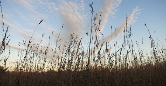
The North American temperate grasslands are known as prairies. The topography of this region is flat and gently sloppy land. Almost treeless but woods can be found in low lying river valleys. It is known for tall grass up to 2 meters. Therefore, it is known as the sea of grass. The prairies is bounded by the rocky mountain in the west and the Great Lakes in the east. The area is drained by Mississipi River and its tributaries in the United States and Saskatchewan and its tributaries in Canada.Climate
Prairies is known for extreme climatic conditions. The temperature stays around 20°C in summer, but it can fall to -20°C in some of the region. The annual rainfall is moderate. A local wind Chinook blows here in Winters and it can raise the temperature within a short time. The Chinook helps in melting of snow and clearing land for pasture.
Flora and Fauna
Most of the Prairies is treeless, but trees like willows, alders and poplars can be found here nearby river paths. The conditions are suitable for farming and major crops of this area are maize, potatoes, soybean, cotton and alfa-alfa. It is also suitable for cattle farming. Large cattle farms known as ranches are found here. Bison (American Buffalo) is the prominent animal of this area. The other animals of this region include rabbits, coyotes, gophers and prairie dogs.
People
Prairies is home to two of the most developed countries in the world. Thanks to scientific knowledge and modern technologies, this area is known for surplus agro-production. Therefore known as "Granaries of the World." Dairy is another major industry of this area. Large coal mineral deposits of coal and iron and a good transport network have made prairies, one of the most industrialized areas in the world. Some of the important cities in prairies are Chicago, Minneapolis, Indianapolis, Kansas and Denver in the United States; and Edmonton, Saskatoon, Calgary and Winnipeg in Canada.
The Velds
The temperate grasslands of South Africa are known as the Velds. The velds are rolling plateaus with height ranging from 600 m to 1100 m. It is bounded by Drakensberg Mountains on east and Kalahari desert on the west. The Orange and Limpopo rivers drain this region.Climate
It is important to note velds fall in the Southern Hemisphere. The Velds have a mild climate with cold and dry winters and short and warm summers. The temperature in winters range from 5°C to 10°C and goes upto 20°C in summers. The region receives most of the rainfall from November to February. There is no rainfall in the winter months of June to August and drought is also possible.
Flora and Fauna
Grass dominates the region and known for red grass in bush welds. Acacia and marula can be seen in the high veld region. Lions, leopard, cheetah and kodu are prominent animals of this region.
People
Agriculture and mining are the two main economic activities of this region. Maize, wheat, barley, oats, potato, tobacco, sugarcane and cotton are grown here. Sheep rearing is an important industry here. The region is known for its Merino sheep. Dairy farming is another important industry here. This area is known for its gold and diamond mines. Johannesburg is known as the Gold Capital of the world and Kimberly is known for its diamond mines.
